| Westchester County Control
Survey, 1939 Report |
 |
|
|
| Thousands of Westchester
County’s earliest deeds used trees, stone piles, and streams
to mark property lines. As Westchester County developed, and the
property within it increased in value, the need to more properly
determine boundary lines was clear. The solution was a county-wide
Control Survey, conducted ca. 1934-1941, with “chaining crews”
working in the field, the construction of “Bilby” towers,
and human “computers” doing thousands of mathematical
calculations.
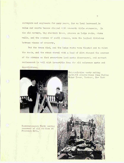
The Control Survey’s 1939 report provides
a short history of the project, while also detailing, with words
and photographs, the work of the office and field crews, and explaining
the triangulation process used to establish the horizontal grid
of elevations throughout the county resulting from the survey, which
continue today to serve as “known points” to surveyors
mapping property. The report also lists every individual from the
county involved in the Control Survey. In addition to this 1939
report, the Westchester County Archives holds additional photographs
from the Control Survey as well as some of the original calculation
records.
|

