 |
|||||||||||
| Farm Map from North Salem, 1855 | ||||||
|
||||||
|
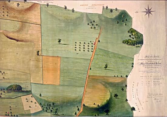
Hand-drawn by John B. Holmes, this 1855 map of Miss Elizabeth C. DeLancey’s 158-acre farm in North Salem is a colorful and artful example of the Archives’ extensive map collection. The Archives’ County Clerk Map Collection has over 33,200 maps from 1766 to the present. |
||||||
![]()