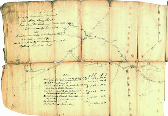
Map of the Croton Turnpike & Old Sing Sing Road, 1814
This large hand-drawn map, prepared in connection with a lawsuit, provides
a uniquely detailed survey of western New Castle in the early 19th century.
Not only are the roadways meticulously recorded, but each property owner is
identified, and many of the buildings are individually illustrated.
The map was drawn in pencil and ink on two irregular pieces of paper, fastened
together to form a single sheet about 78 inches long and 22 inches high. The
sheet was folded in half lengthwise and into 16 panels widthwise. Over time,
it broke apart at several of these folds. The separated panels have been reassembled
here to form three adjacent sections, running west to east.
For further description, see Entire Record
This record is associated with:

