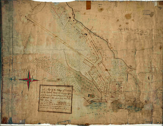
Village of Delaville Map,
March 11, 1801
 Entire Record
 Catalog
 Transcription
This map, hand-drawn by William Weedon in 1801, depicts much of the northern part of the current Village of Ossining. At the time, the area was known as the Village of Delaville, and was part of the Town of Mount Pleasant. The Town of Ossining split off from Mount Pleasant in 1845.

