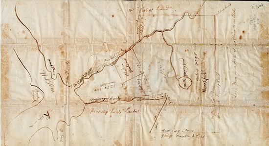
Map of Peekskill,
ca. 1750
 Entire Record
 Catalog
 Transcription
This ca. 1750 map of Peekskill shows the land owners in what was then “Upper Peekskill” (now Van Cortlandtville) and the present Peekskill. It is an authentically scaled map on English paper, on which the watermark of King George II can be plainly seen. The pin holes which were made when the paper was fastened to the map-making table are also visible.

